DA conditions · Scenic Rim
Scenic Rim Regional Council DA Conditions: Plan Sealing and Approval Management
Scenic Rim projects carry conditions shaped by rural land, scenic amenity, and environmental values.
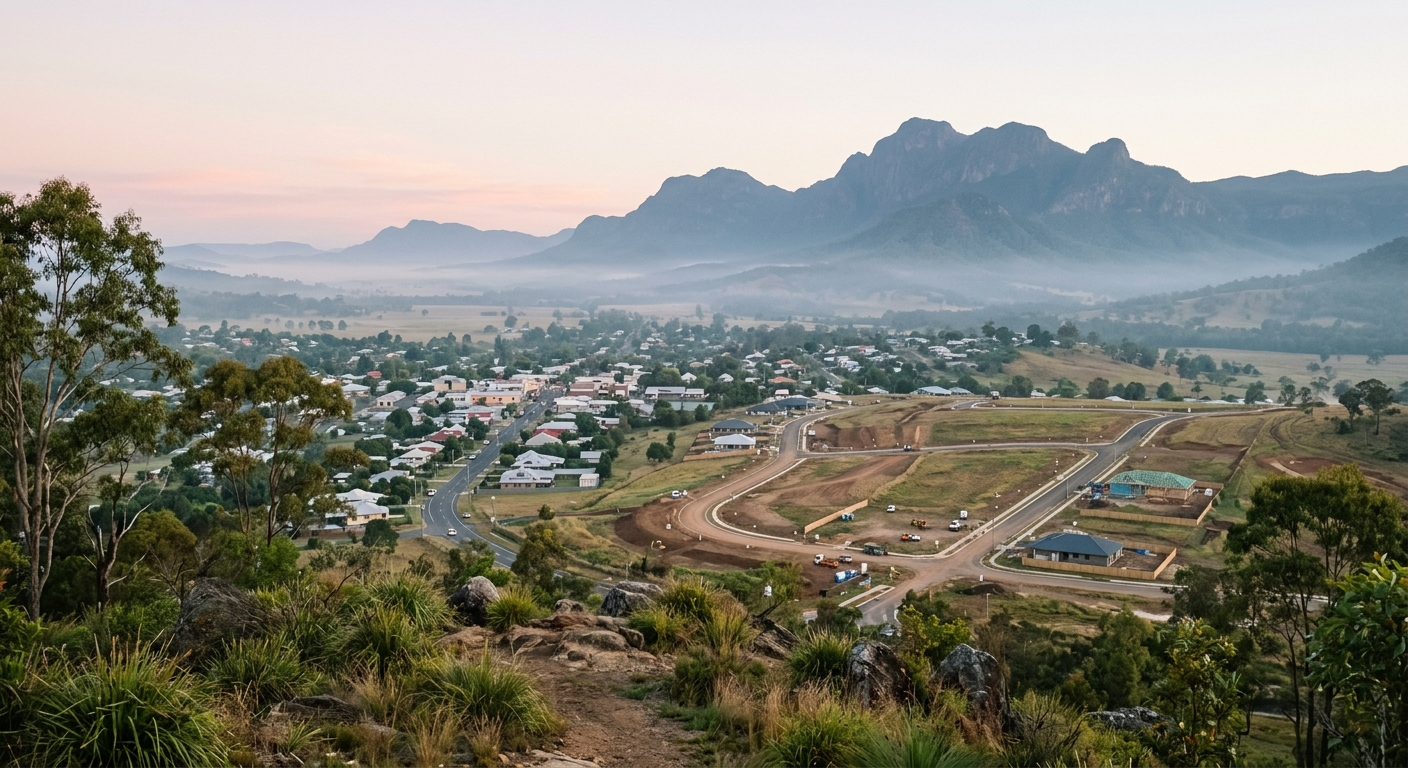
Scenic Rim Regional Council covers a large rural and semi-rural region south west of Brisbane, taking in Beaudesert, Boonah, Tamborine Mountain, and the surrounding valleys and ranges. Development approvals for subdivision here reflect the region's rural character: conditions commonly address scenic amenity, vegetation and habitat, bushfire hazard, waterways, and on-site servicing where reticulated infrastructure does not reach.
Assessment is carried out under the Scenic Rim Planning Scheme 2020. Scenic Rim Planning Scheme 2020 commenced on 20 March 2020, and the version in force is dated 30 June 2023, according to the council's planning schemes page. Subdivision approvals under that scheme carry conditions from the assessment manager and, where triggered, from referral agencies such as the Department of Transport and Main Roads.
Managing those conditions from approval through to plan sealing is what separates Scenic Rim projects that register on time from those that stall at the final stage.
How Scenic Rim DA conditions are structured
Scenic Rim DA conditions typically combine assessment manager conditions with referral agency conditions where a state trigger applies. Because the region is dominated by rural, rural residential, and environmentally significant land, condition schedules often place heavier weight on scenic amenity, vegetation retention, bushfire management, stormwater and waterway protection, and access off rural and state-controlled roads than on the dense trunk infrastructure obligations seen in metropolitan growth corridors.
Where a subdivision fronts or takes access from a state-controlled road, the Department of Transport and Main Roads is a referral agency and its conditions on access, sight distance, and road works must be satisfied and signed off before plan sealing. Rural and rural residential lots frequently rely on on-site wastewater treatment and, in some locations, on-site water supply, so conditions may require engineered wastewater reports, lot-size justification, or bushfire hazard assessments rather than standard reticulated connections.
Larger reconfiguring a lot approvals in the Scenic Rim may also require a separate operational works approval for roads, drainage, and earthworks. Conditions from that operational works approval feed into plan sealing and must be certified as complete before the survey plan can be sealed.
Where Scenic Rim projects run into problems
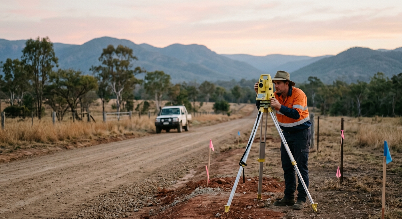
The most common source of delay on Scenic Rim projects is leaving specialist, evidence-heavy conditions until the plan sealing stage. Scenic amenity, vegetation, bushfire, and on-site wastewater conditions often require reports from specialist consultants and, in some cases, physical works or plantings that take time to establish and certify. If these are not started early, they become outstanding items exactly when the project needs to move to settlement.
TMR sign-off is a recurring pressure point wherever a subdivision touches a state-controlled road. The department runs its own assessment and correspondence process, and written confirmation of compliance can take several rounds. Rural projects also tend to run over long timeframes, during which consultants and staff change, and informal knowledge about what each condition actually requires can be lost. See loss of compliance knowledge over long projects for how that risk accumulates.
Operational works certification is another gap. If certification that road, drainage, and earthworks have been built to the approved design is not obtained at practical completion, it surfaces as an outstanding matter during plan sealing preparation.
Time savings from structured condition management
Scenic Rim projects that identify their slow, evidence-heavy conditions at approval and run them as active workstreams consistently avoid the scramble that comes from leaving them to the end. The processes for TMR sign-off, wastewater certification, vegetation and bushfire compliance, and operational works certification are all known. The time saving comes from starting them early enough to finish them without urgency.
Plan sealing itself is time-boxed once the request is complete. Under the Planning Regulation 2017, Queensland councils review a plan sealing request and respond within 20 business days, and where a subdivision plan is endorsed the applicant is issued a Notice of Approval under Schedule 18 of the Planning Regulation 2017. Queensland council plan sealing guidance states that "if any matters are outstanding, council will contact you within the initial 20 business day period." A complete first submission proceeds on that timeframe; an incomplete one generates requests that add weeks.
PlanEase analysis of public Queensland council and Economic Development Queensland development-application registers puts the typical (median) time to a decision across Queensland councils at about 24 days, with an average of about 29 days, over the period 18 May 2026 to 14 August 2026. That measures the front of the pipeline, the decision. The post-approval stage of satisfying conditions and getting to plan sealing is the part that structured tracking most reliably shortens.
Approximate figures from PlanEase's analysis of public registers, data updated 16 August 2026, subject to revision. Not official statistics.
Risk reduction for Scenic Rim development projects
The core settlement risk on a Scenic Rim subdivision is the same as anywhere else: unconditional contracts, finance drawn, and purchasers waiting on registered titles. A missed or late condition at plan sealing delays registration and delays settlement, with real financial consequences.
The specific Scenic Rim risk profile comes from the number of amenity and environmental conditions that depend on specialist evidence, combined with long project durations and dispersed rural consultant teams. That combination makes informal, memory-based condition management particularly fragile. A structured condition register that keeps the full compliance position visible and current is the most reliable way to reduce that risk.
Practical approach to Scenic Rim condition management
Review the full DA condition schedule at approval and flag the conditions that need the most lead time: TMR sign-off, on-site wastewater and lot servicing, vegetation, bushfire and scenic amenity requirements, and any operational works certification. Assign clear responsibility for each, and build the compliance evidence progressively rather than assembling it at the end.
PlanEase supports structured condition management for Scenic Rim Regional Council projects: tracking conditions from approval, assigning responsibility, and building the plan sealing record as the project runs. See also managing DA conditions across a project and subdivision plan sealing in South East Queensland.
Frequently asked questions
What planning scheme applies to Scenic Rim DA conditions?
Development in the region is assessed under the Scenic Rim Planning Scheme 2020, which the council's website records as commencing on 20 March 2020, with the current version dated 30 June 2023. Subdivision approvals under that scheme carry conditions from the assessment manager and, where a state trigger applies, from referral agencies. Because much of the region is rural, rural residential, or environmentally significant, conditions often focus on scenic amenity, vegetation, bushfire hazard, waterways, and on-site servicing.
Why do Scenic Rim subdivisions have so many amenity and environmental conditions?
The Scenic Rim is valued for its rural landscape, ranges, and natural areas, so the planning scheme seeks to protect scenic amenity, vegetation, and habitat. Subdivision conditions commonly require vegetation retention, bushfire hazard management, stormwater and waterway protection, and lot layouts that respect rural character. Many of these conditions rely on specialist reports or physical works, so they need to be started early rather than left to plan sealing.
How long does plan sealing take once conditions are satisfied?
Under the Planning Regulation 2017, Queensland councils review a plan sealing request and respond within 20 business days, contacting the applicant within that period if any matters are outstanding. Where the subdivision plan is endorsed, the applicant is issued a Notice of Approval under Schedule 18 of the Planning Regulation 2017. The timeframe only runs cleanly if the request is complete on lodgement, so an incomplete submission is the most common cause of extra weeks.
Does the Department of Transport and Main Roads condition Scenic Rim subdivisions?
Where a subdivision fronts or takes access from a state-controlled road, the Department of Transport and Main Roads is a referral agency and can impose conditions on access, sight distance, and road works. Its written confirmation of compliance must be obtained before plan sealing, and its own assessment and correspondence process takes time. Starting TMR engagement early is one of the more reliable ways to avoid last-minute delay on affected Scenic Rim projects.
Do rural Scenic Rim lots need on-site wastewater and water conditions satisfied before sealing?
Many rural and rural residential lots in the Scenic Rim are not connected to reticulated sewer and, in some areas, not to reticulated water, so approvals commonly condition on-site wastewater treatment, lot-size justification, or engineered servicing reports. Evidence that these conditions are met needs to be assembled and certified before the survey plan can be sealed. Tracking these servicing conditions alongside the operational works and referral conditions keeps the plan sealing application complete.
Scenic Rim Regional Council DA conditions reflect a region defined by rural land and scenic value, which places the weight of the condition schedule on amenity, environmental, and servicing requirements that reward early, structured management. Projects that track conditions from approval and satisfy them progressively arrive at plan sealing ready to lodge a complete request and proceed to registration without avoidable delay.
Learn more about PlanEase
DA condition management for Scenic Rim Regional Council subdivision projects.
See how PlanEase works →