DA conditions · Lockyer Valley
Lockyer Valley Regional Council DA Conditions: Plan Sealing and Approval Management
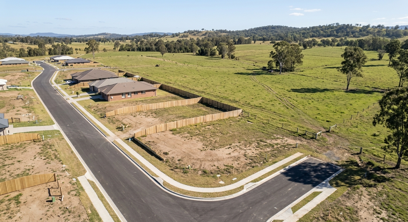
Lockyer Valley subdivision projects sit within some of Queensland's most productive farmland and its most flood-affected catchments.
Lockyer Valley Regional Council covers Gatton, Laidley, Plainland, Grantham, and the surrounding rural towns west of Ipswich. Development approvals for subdivision in this region carry DA conditions that reflect two dominant local constraints: the protection of good quality agricultural land and the management of flooding. Both shape the condition schedule in ways that are less common in the coastal SEQ growth councils.
Council assesses development against the Lockyer Valley Planning Scheme, which took effect on Monday 22 July 2024 according to Lockyer Valley Regional Council. Applications lodged from that date are assessed under the current scheme, and conditions on reconfiguring a lot approvals draw on both the assessment manager's requirements and any referral agency conditions that apply.
Managing these conditions from approval through to plan sealing is what separates projects that settle on time from those that stall at the final stage.
How Lockyer Valley DA conditions are structured
Lockyer Valley development approvals include assessment manager conditions and, where applicable, referral agency conditions from bodies such as the Department of Transport and Main Roads (TMR), Urban Utilities or SEQ Water, and Energex. Subdivision projects on or near state-controlled roads (including the Warrego Highway corridor through Plainland and Gatton) commonly attract TMR conditions on access, sightlines, and road works.
Good quality agricultural land is a defining feature of the Lockyer Valley, which is one of the country's most productive cropping regions. Where land is mapped as good quality agricultural land, DA conditions often address the interface between new residential lots and ongoing farming, including buffers, drainage, and constraints on lot layout. Understanding whether agricultural land provisions apply is a first-order question at the start of any Lockyer Valley subdivision.
Flooding is the second defining constraint. The Lockyer Valley experienced the devastating January 2011 flash flood, and flood immunity, filling, and drainage conditions are a routine and heavily scrutinised part of subdivision approvals in the affected catchments. Conditions may require finished floor and lot levels, hydraulic reports, and evidence that the reconfiguration does not worsen flood behaviour on adjoining land.
Larger Lockyer Valley subdivision projects also commonly require a separate operational works approval for roads, stormwater, and earthworks. Conditions from that approval, including certification that works are complete to the approved design, feed directly into plan sealing.
PlanEase analysis of public Queensland council and Economic Development Queensland (PDA) development application registers, 18 May 2026 to 14 August 2026.
Approximate figures from PlanEase's analysis of public registers, data updated 16 August 2026, subject to revision. Not official statistics.
In PlanEase's own analysis of public Queensland council and EDQ development application registers, Lockyer Valley recorded roughly 500 applications over the period from 18 May 2026 to 14 August 2026, out of about 8,200 across all Queensland councils plus EDQ. That volume places Lockyer Valley among the busier registers PlanEase tracks, which is notable for a largely rural council and reflects steady subdivision and operational works activity around Gatton and Plainland.
Where Lockyer Valley projects run into problems
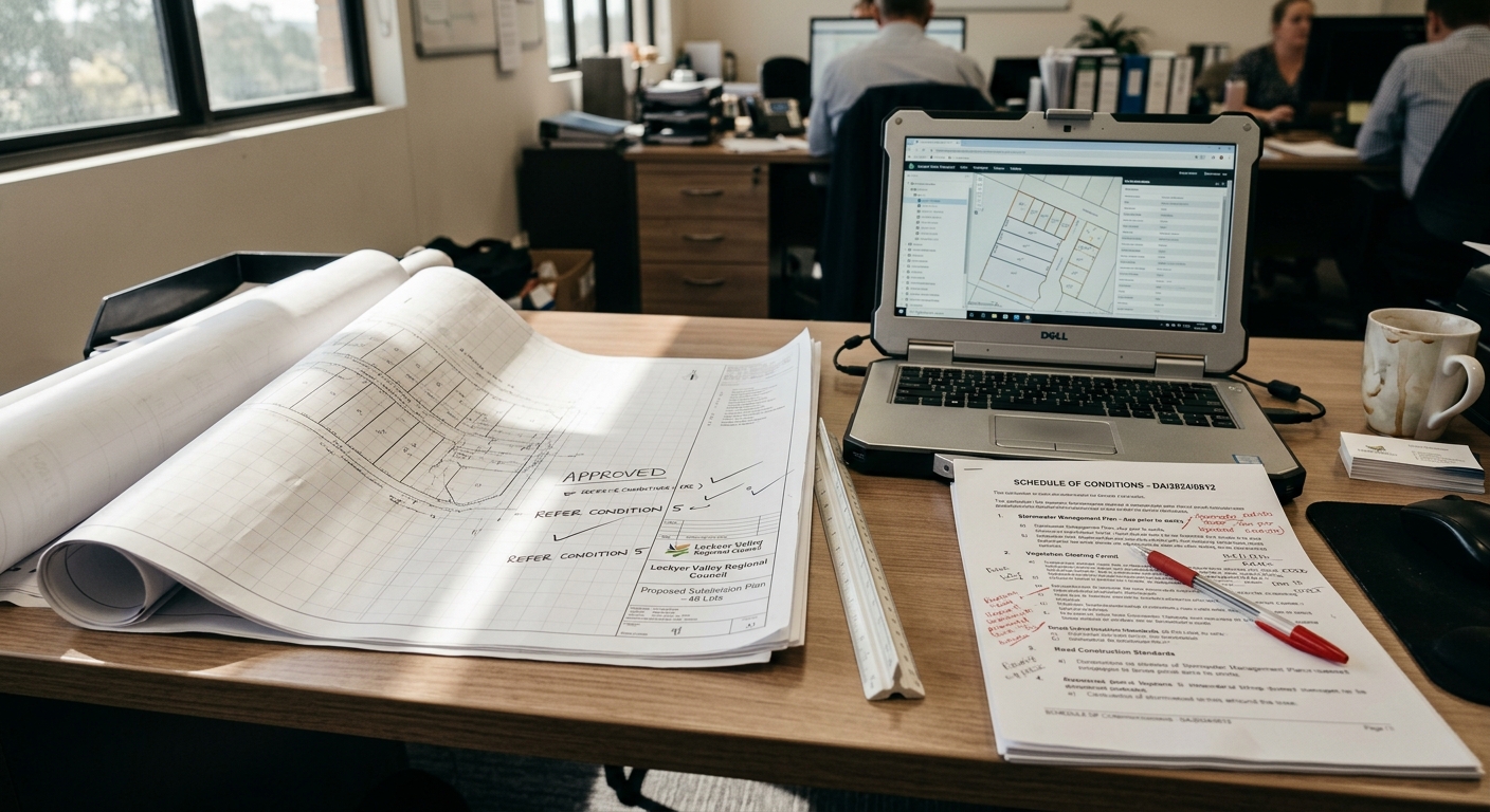
Flood-related conditions are the most common pressure point on Lockyer Valley subdivision projects. Hydraulic modelling, filling, and drainage works take time to design, approve, and certify, and if the flood immunity evidence is left until plan sealing preparation it becomes an outstanding item that holds up the whole application. The January 2011 flood permanently raised the bar for how flooding is assessed in the valley.
Agricultural land provisions can also catch projects out. Where good quality agricultural land is involved, conditions may impose buffers or layout constraints that interact with lot yield and infrastructure design. Resolving these late, after the layout is fixed, is expensive and slow.
TMR conditions on projects near the Warrego Highway require engagement with the department's own assessment process. Obtaining written confirmation of compliance can involve several rounds of correspondence, and starting it late is a reliable source of delay.
Operational works conditions relating to stormwater, road construction, and flood mitigation earthworks require formal certification that the works were built to the approved design. If that certification is not obtained at practical completion, it resurfaces as an outstanding matter at plan sealing.
Time savings from structured condition management
Lockyer Valley projects that identify flood, agricultural land, and TMR conditions early and manage them as active workstreams consistently avoid the delays that arise when these matters are left to the plan sealing phase. The processes are known; the time saving comes from starting them early enough to complete them without urgency.
For operational works conditions, building certification milestones into the construction programme, and obtaining certification at practical completion rather than at plan sealing preparation, removes a consistent source of last-minute friction.
A plan sealing application that is complete on lodgement proceeds without the back-and-forth that incomplete applications generate. The time saving from a complete first submission is direct and reliable. See subdivision plan sealing across South East Queensland for how the process works across neighbouring councils.
Risk reduction for Lockyer Valley development projects
Lockyer Valley subdivision projects carry the same settlement risk as any Queensland subdivision: unconditional contracts, finance facilities drawn, and purchasers with fixed plans. The financial exposure from settlement delays is real and measurable.
The specific risk in the Lockyer Valley comes from the flood and agricultural land conditions, which are technical, evidence-heavy, and unforgiving if left late. A structured condition register that makes the full compliance position visible, and keeps it current as the project progresses, is the most reliable way to manage this risk. See managing DA conditions across a project for the underlying method.
Practical approach to Lockyer Valley condition management
Review the full Lockyer Valley DA condition schedule at approval, with particular attention to flood immunity, drainage, good quality agricultural land, TMR, and operational works conditions. These require the most lead time and should be actioned first.
Confirm early whether the site is mapped as good quality agricultural land or sits in a flood-affected catchment, because both change the evidence you will need to demonstrate compliance at plan sealing. Building that evidence progressively, rather than reconstructing it at the end, is what keeps the project moving.
PlanEase supports structured condition management for Lockyer Valley Regional Council projects: tracking conditions from approval, assigning responsibility, and building the compliance record progressively. See also why plan sealing breaks down at the end and the lack of early visibility of issues in plan sealing.
Frequently asked questions
What are the main development constraints in the Lockyer Valley?
The two dominant constraints are the protection of good quality agricultural land, as the Lockyer Valley is one of Australia's most productive cropping regions, and flooding. Both are addressed directly in DA conditions on subdivision approvals, and both require technical evidence that must be prepared and certified before a survey plan can be sealed.
How does the 2011 flood affect subdivision conditions today?
The January 2011 flash flood was one of the most severe on record and led to a voluntary land swap that relocated part of Grantham to higher ground. Since then, flood immunity, filling, drainage, and hydraulic assessment conditions have been a routine and heavily scrutinised part of subdivision approvals in the affected catchments, and satisfying them is often the critical path to plan sealing.
Which planning scheme applies to Lockyer Valley DAs?
Development is assessed against the Lockyer Valley Planning Scheme, which Lockyer Valley Regional Council adopted with effect from 22 July 2024. Applications lodged from that date are assessed under the current scheme, so it is worth confirming the applicable version and any transitional arrangements at the start of a project.
Does the Department of Transport and Main Roads condition Lockyer Valley subdivisions?
Yes, TMR is commonly a referral agency for subdivisions affecting state-controlled roads, which in the Lockyer Valley includes the Warrego Highway corridor through Plainland and Gatton. TMR conditions can cover access, sightlines, and works on or near state roads, and obtaining written sign-off requires engagement with the department's own timeline, so it should be started early.
How busy is Lockyer Valley for development applications?
In PlanEase's analysis of public Queensland council and EDQ development application registers for 18 May 2026 to 14 August 2026, Lockyer Valley recorded roughly 500 applications, among the busier registers PlanEase tracks. That is a notable volume for a largely rural council and reflects steady subdivision and operational works activity around Gatton and Plainland.
Lockyer Valley Regional Council DA conditions reflect the region's productive farmland and its exposure to flooding. The technical, evidence-heavy nature of agricultural land and flood conditions makes structured management essential. Projects that track conditions from approval and address them progressively arrive at plan sealing in a position to lodge a complete application and proceed to registration without avoidable delays.
Learn more about PlanEase
DA condition management for Lockyer Valley Regional Council subdivision projects.
See how PlanEase works →